Mercator versus trueRussell Bateman |
I found this map worth contemplating for the information it carries. A Mercator projection map represents longitude and latitude lines as straight at the expense of increasing distortion as one looks northward and southward from the Equator. The Equator is where the Mercator projection runs true-to-size. Somehow, that was useful to navigators of the XVIth century or so thought Gerardus Mercator born Geert de Kremer in Flanders (1512-1594).
Though Mercator is the most distorted way to display the world, the straight-line feature of its representation is convenient, familiar and still well suited for Internet maps. Hence its persistence. It will probably never be replaced by earthlings most of whom are hopeless flatlanders.
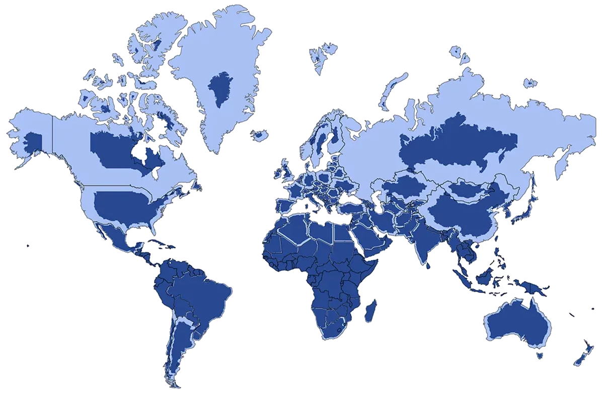
What's in light blue below is the standard, Mercator projection. What's in dark blue resizes to correct Mercator with what the landmass of distortedly massive countries is people's usual perception. In particular, Greenland, Canada, the United States, Russia, Scandinavian countries and China are hugely over-sized by Mercator while landmasses/countries along the Equator are spot on. Note that the Equator is very south in this picture. 68% of the Earth's total landmass falls in the northern hemisphere.
This GIF is a good aid to help make the connection between Mercator and true size. True size is what's displayed on a globe—if you could "bend" the Mercator projection around a sphere. Of course, in this animated representation, that's not exactly what's happening; it's only showing the same thing as the map above.
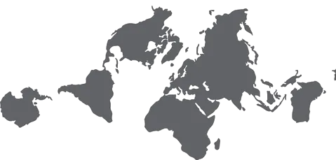
The AuthaGraph projection shows truer landmass shapes and sizes at the gross expense of the oceans and the globe itself.
And, finally, here is an abstract globe representation without clouds that may be useful to look at. What's in green are continents viewed from inside the earth, in black are the views from the outside. This is the best representation I could find that illustrates the northern climbs because, oddly, most globe representations are consciously woke and favor southern climbs ignoring the north. No, really. Or maybe I just gave up searching too soon.
Whatever the case, you can easily see how important the arctic north has become to global transportation now that there is thinning of ice, comparatively reduced distances between countries, hugely improved technology for cutting paths through ice, bottlenecked or dangerous passages (Panama, Red Sea/Suez, Magellan), etc. to the extent that even "distant" China is working to claim as much of the arctic as it can.